 |
Ken Baldry's Alpine PagesThe walk from Chamonix to Zermatt - start |
I assembled this tour in the same scrappy way as the Cross-Swiss Walk.
It starts from Chamonix (English link), the Mecca of French climbing & which needs little introduction.
How to get there
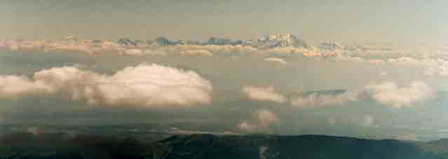 |
I flew Easyjet from Luton to Geneva. Left is the view of Mont Blanc from the aeroplane if you are lucky, with the Grande Combin far left. Then, picked up the minibus to Chamonix but there are various options, bus-wise. Try the links below:- |
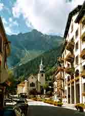
Chamonix church |
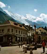
Mont Blanc from Chamonix |
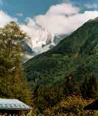
The Dru from the |
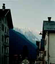
SW from Argentière |
The good news is that Kev Reynolds has written a guide (not that I did it quite his way) & you can do the whole tour on Swiss maps. You need LK282 (Martigny), LK283 (Arolla), a bit of LK 273 (Montana) & LK274 (Visp), LK284 Mischabel or the Zermatt assemblage map. These are all LK50 (1:50,000). Using LK25s means carrying a lot more maps & some of the paths are actually better marked on the LK50s (in 2004).
Ken has an illustrated lecture about this tour, which he is willing to give to societies.
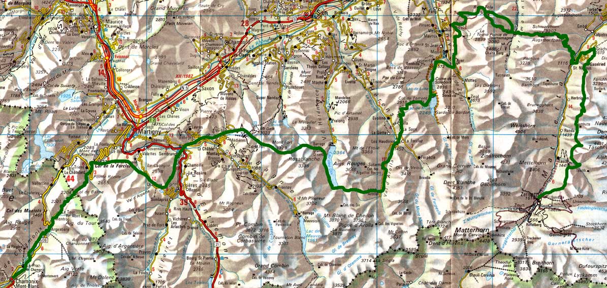
The Entire Route

This map is copied from the Official Map of the Automobil-Club der Schweiz,
(with their permission) which is on this link but not to scale
Hit this link for a bigger map easily readable when printed
Argentière to Col de la Forclaz over the Col de Balme
Col de la Forclaz to Sembrancher by the Alpe Bovine & Champex
Sembrancher to Verbier Another start day from England for me
Verbier to Cabane de Mont Fort Easy day
Cabane de Mont Fort to Cabane de Prafleuri or Le Chargeur over three passes
Le Chargeur to Arolla over the Col de Riedmatten
Arolla to Grimentz over the Col de Torrent
Grimentz to St Luc or the Cabane de Bella Tola Easy day
Cabane de Bella Tola to Gruben via Bella Tola & the Meidpass (two pages here)
Gruben to Grächen over the Augstbordpass to St. Niklaus & up the easy footpath.
Grachen to the Europahut by the Europaweg (on the walk-in to Zermatt)
Europahut to Zermatt Europaweg part two
That is fifteen days, including coming & going days but I would advise splitting it over more than one trip & biding a wee at some of the beautiful places on the way, especially Arolla & Grächen & finally, at Zermatt.
Note that I did some at the end of June & some in September. September is the time to go, because of the problems of conditions underfoot in June, especially when the snow is late going away, as in 2004. However, there are more flowers in June.
Getting started
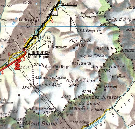 |
Tuesday 2nd September 2003 From Chamonix the impending mass of Mont Blanc is most imposing. You cannot see the top but you can see up a couple of vertical miles. I walked along the river Arve but when I got to Praz, where I intended to pick up Kev Reynolds route, this had been obliterated by a huge, immaculately kept golf course, so there is quite a bit of road walking before one can resume the footpath on the other side of the river, which does get one close to Argentière, where I checked into the rather elderly Hotel Savoie, €36.80 for B&B. The landlord spoke English, to my surprise. He said if you don't in Argentière, you are dead. Good hot shower upstairs & down the corridor. I had dinner in a restaurant called 'The Office' (!), having a huge salad for starters & a chicken in lemon & garlic sauce thing for the main course. Lots of English around & nobody else. The cook was English but thankfully, cooked French. This map is copied from the Official Map of the Automobil-Club der Schweiz, (with their permission) which is on this link but not to scale. |
Contact: Ken Baldry, 17 Gerrard Road, Islington, London N1 8AY +44(0)20 7359 6294 or e-mail him URL: http://www.art-science.com/Ken/Alpine/C-Z/index.html © 2004-2010 Ken Baldry. All rights reserved. Last revised 19/11/2010