 |
Ken Baldry's Alpine Pages Walks around Bettmeralp 2000m |
Bettmeralp is on a shelf above the Rhone Valley, known here as Goms or the Gomsertal. The village faces South-East & has splendid views across to peaks in the Pennine Alps. There is also some pleasant walking but, ideally, this is a centre for relaxation. Bettmeralp has developed 'suburbs' above & low the main street in recent years.
How to get there
Go to Brig (as described on the index page). Take the Matterhorn-Gotthard train North-East to Betten Station. Then, take the cable car up to Bettmeralp. Unless you are staying in one of the suburbs of villas, don't even think of bringing a car up here. This is still supposed to be a car-free village.
When you get there...
...you need somewhere to stay. There are many hotel options & I have used several. There is also bunkhouse accommodation. Users of old maps can write off the Hotels Bettmerhorn & Jungfrau marked along the path to the North-East, as they have been demolished. There is some skiing but not done by me.
The village web site is on this link in English.
|
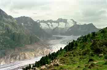
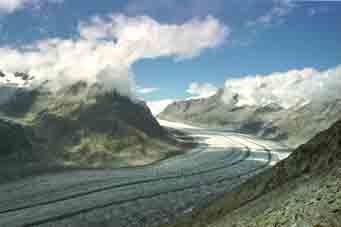
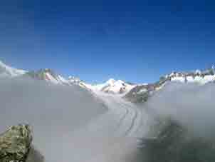
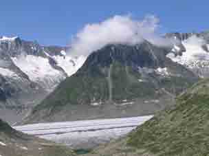
There is a ridge behind Bettmeralp i.e. North-West, behind which is the Aletsch Glacier, the biggest in Europe. All these walks give views of it. |
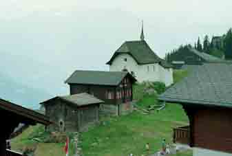
The charming church |
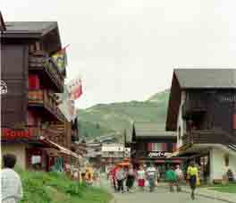
Looking along the main street |
To Riederalp
|
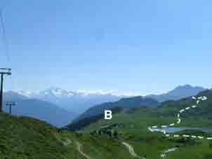
The jeep track North-Eastwards or the one through the top suburb is the clue to all these walks. Just past the Bettmersee, take the path which goes left up the same side, which brings you out on the ridge overlooking the Aletsch Glacier. Carry on to Riederalp for a coffee & come back along the main path which heads back into Bettmeralp (B). This is not a very long walk but you will want to dawdle for the views! |
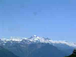
Bettmersee. Weisshorn in distance. |
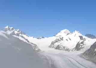
Along the Aletsch Glacier |
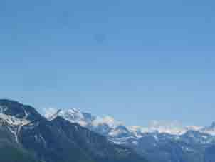
Fletschhorn |
The Mischabel |
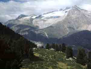
Triestgletscher from Riederalp |
The Bettmerhorn
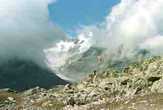
Past the Bettmersee is a path up to the ridge to the South-West of the Bettmerhorn. A gondola also goes to this spot. Then, it is half an hour's scramble to the top. In 1998, I did not have good views but I should have. These photos are from the gondola station.
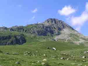
The Bettmerhorn (2008) |
Aletschgletscher |
Aletschhorn |
|
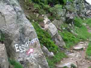
Further North-East - the Eggishorn
|
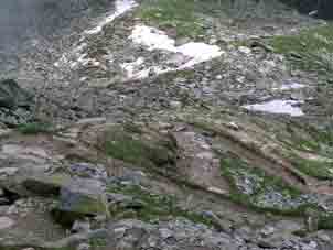
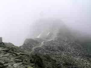
The clue to this walk is a stroll (6,500 paces) North-East along the jeep track from Bettmeralp to Kühboden. Here, you can cheat & take a cable car up to near the top. Huh! Walking on further, there is a clearly marked path up. This is zig-zags; a long traverse East; another long traverse West & another set of zig-zags that are not as threatening as they look on the map. The path is marked as coming out on the col between the top cable car station & the summit pyramid but now goes to the cable car. This is annoying, as you have to drop to the col before going up to the top & the “10 mins” is a lie. It is about double that. Fabulous views in all directions. What I did next (2008) was go down the top zig-zags & take a new path off East not marked on my 1966 map, to the Tälligrat, which brings one out over the shrunken Margelensee & the new, dammed up one. There is a long traverse path back round South-West to Kühboden with views up the Fieschergletscher. |
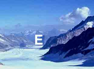
Eggishorn from the Jungfraujoch down the Jungfraufirn & Aletsch Glacier (1972) |
Bettmeralp & track to Kühboden (1989) |
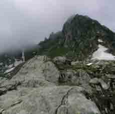
Where the Eggishorn path goes off |
The first of the last zig-zags |
Summit track |
Jungfrau Monch Trugberg & Eiger |
Zoom the left photo |
The round trip from Kühboden is 27,000 paces, so 40k from & to Bettmeralp, a reasonable long day. However, there are hotels at Kühboden.
Eggishorn from Tälligrat |
Margelensee, trapped against the ice, from Tälligrat |
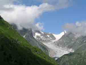
Fieschergletscher |
Contact: Ken Baldry, 17 Gerrard Road, Islington, London N1 8AY +44(0)20 7359 6294 or e-mail him
URL: http://www.art-science.com/Ken/Alpine/Bettmeralp/index.html
Last revised 27/5/2012 © 1998-2012 Ken Baldry. All rights reserved.